A two-week delay can rewrite the truth
What happens when the most powerful verification tool suddenly slows down?
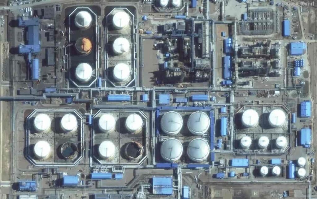
For years, satellite imagery has been the backbone of modern OSINT investigations. Fast, precise, and increasingly accessible. Then something changed.
Access is no longer immediate. And in journalism, timing is everything.
Recent decisions by major satellite providers to delay or restrict access to imagery in conflict zones are forcing a quiet shift. Not in technology. In power.
Why satellite imagery became essential in OSINT
From niche capability to newsroom standard
A decade ago, satellite analysis was reserved for intelligence agencies. Today, investigative teams use it daily.
Newsrooms combine satellite data with videos, geolocation techniques, and social media verification. The result is something close to real-time truth reconstruction.
This method has been used to:
- Verify missile strikes
- Map destruction patterns
- Cross-check eyewitness footage
- Identify weapon systems
In one recent case, investigators analyzed a strike on a school in Iran using satellite imagery alongside open-source videos to determine the likely weapon used.
That level of precision changed expectations. Audiences now expect proof, not claims.
What changed: restricted access to satellite data
The introduction of delayed imagery
Major satellite providers have started limiting access to images from conflict areas. One key decision stands out.
A two-week delay on newly captured imagery.
That may sound technical. It is not.
In fast-moving conflicts, two weeks is the difference between:
- Verification and speculation
- Evidence and narrative
- Journalism and propaganda
According to the report, these restrictions aim to prevent sensitive geospatial data from being used by hostile actors.
The logic is clear. The consequences are less comfortable.
The real impact on OSINT investigations
Slower verification, weaker certainty
Without near real-time imagery, investigators face a different reality.
They can still analyze events. But confidence drops.
A delayed image cannot confirm:
- Immediate damage patterns
- Fresh impact sites
- Rapid troop movements
Instead, analysts must rely on partial evidence. That changes how conclusions are presented.
Statements become cautious. Findings need qualifiers.
And that matters. Because OSINT built its credibility on precision.
When timing becomes the story
In conflict reporting, speed is not a luxury.
It shapes the narrative.
If journalists cannot verify events quickly, others will fill the gap. Governments, unofficial channels, or coordinated disinformation networks.
Satellite imagery used to act as a neutral referee.
Now it arrives late.
How OSINT teams are adapting
The shift toward multi-source verification
Restrictions do not stop investigations. They force evolution.
Analysts are combining alternative data streams:
- Older satellite imagery for terrain context
- Ground-level videos for immediate evidence
- Metadata and shadows for time verification
- Infrastructure mapping for impact analysis
Even without fresh images, older data still supports geolocation and pattern recognition.
The workflow becomes more complex. And less definitive.
Creativity replaces convenience
OSINT has always thrived under constraints.
When one source disappears, analysts pivot.
They reconstruct events using fragments:
- A building shape
- A road alignment
- A plume of smoke in a video
The process takes longer. And requires more expertise.
The barrier to entry rises.
The uncomfortable question: who controls reality?
When private companies shape public knowledge
Satellite providers are not neutral platforms.
They operate with government contracts, regulatory pressure, and geopolitical constraints.
Limiting access may reduce operational risks. It also centralizes control over critical data.
That creates a paradox:
- OSINT promised transparency
- Access restrictions reintroduce opacity
Journalists depend on data they do not control.
And that dependency is now visible.
Pros and cons of satellite restrictions in OSINT
The security argument
There is a legitimate concern behind these decisions.
High-resolution imagery can reveal:
- Military positions
- Strategic infrastructure
- Operational movements
In the wrong hands, this data becomes tactical intelligence.
From that perspective, restrictions are defensive.
The cost for journalism
The downside is harder to ignore.
Delayed access means:
- Slower investigations
- Reduced accountability
- Greater room for misinformation
When verification slows down, narratives accelerate.
And narratives rarely wait for evidence.
What this means for the future of OSINT
A more complex, less immediate discipline
OSINT is not disappearing. It is changing shape.
Expect:
- More reliance on hybrid verification methods
- Higher technical skill requirements
- Greater importance of cross-source analysis
Speed will no longer define the best investigations.
Depth will.
The rise of “delayed truth”
There is a subtle shift underway.
Truth is still accessible. But it arrives later.
That delay reshapes public perception. Early narratives may stick, even when later disproven.
OSINT will need to address not only accuracy, but timing.
Final takeaway
Satellite imagery turned OSINT into one of the most powerful verification methods in modern journalism.
Now access is tightening.
The question is no longer how to analyze data.
It is how to work without it—at least when it matters most.
Want to go deeper?
Explore how OSINT investigations work step by step and test real tools used in the field.
Join the community:
- Newsletter → https://projectosint.substack.com/
- Telegram → https://t.me/osintprojectgroup
The tools are still there. The rules are changing.